Tracking the Colour of Peatlands
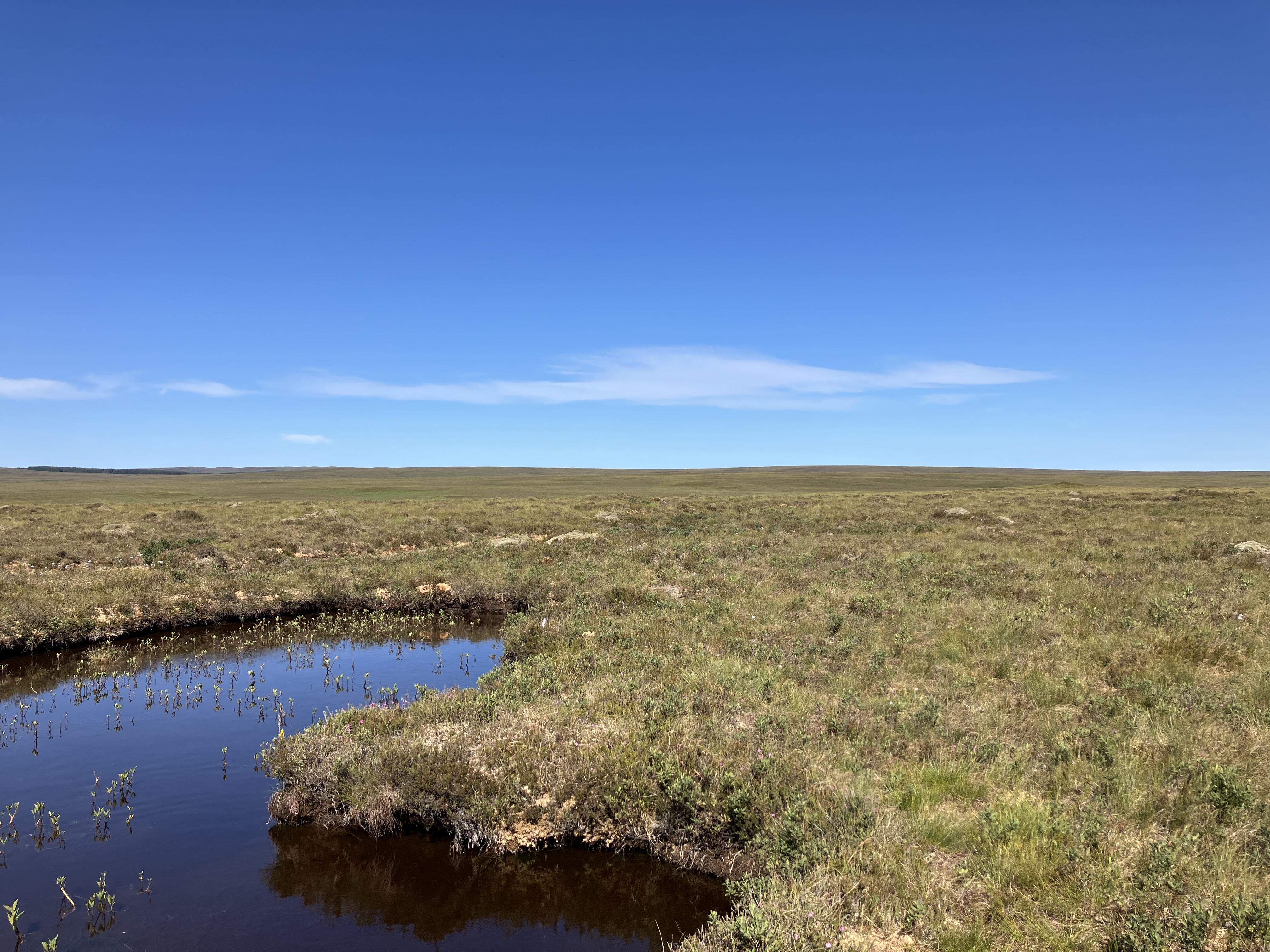
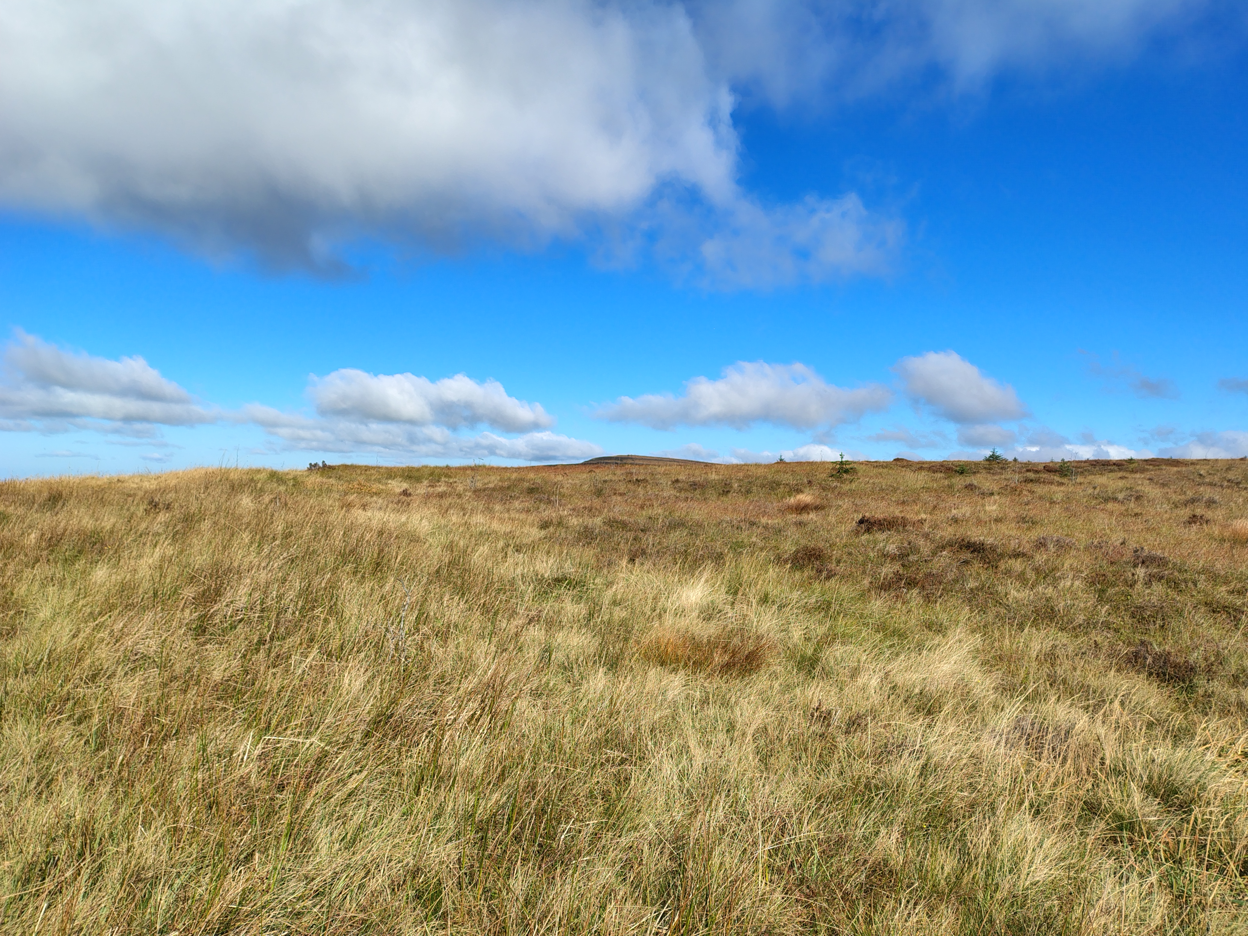
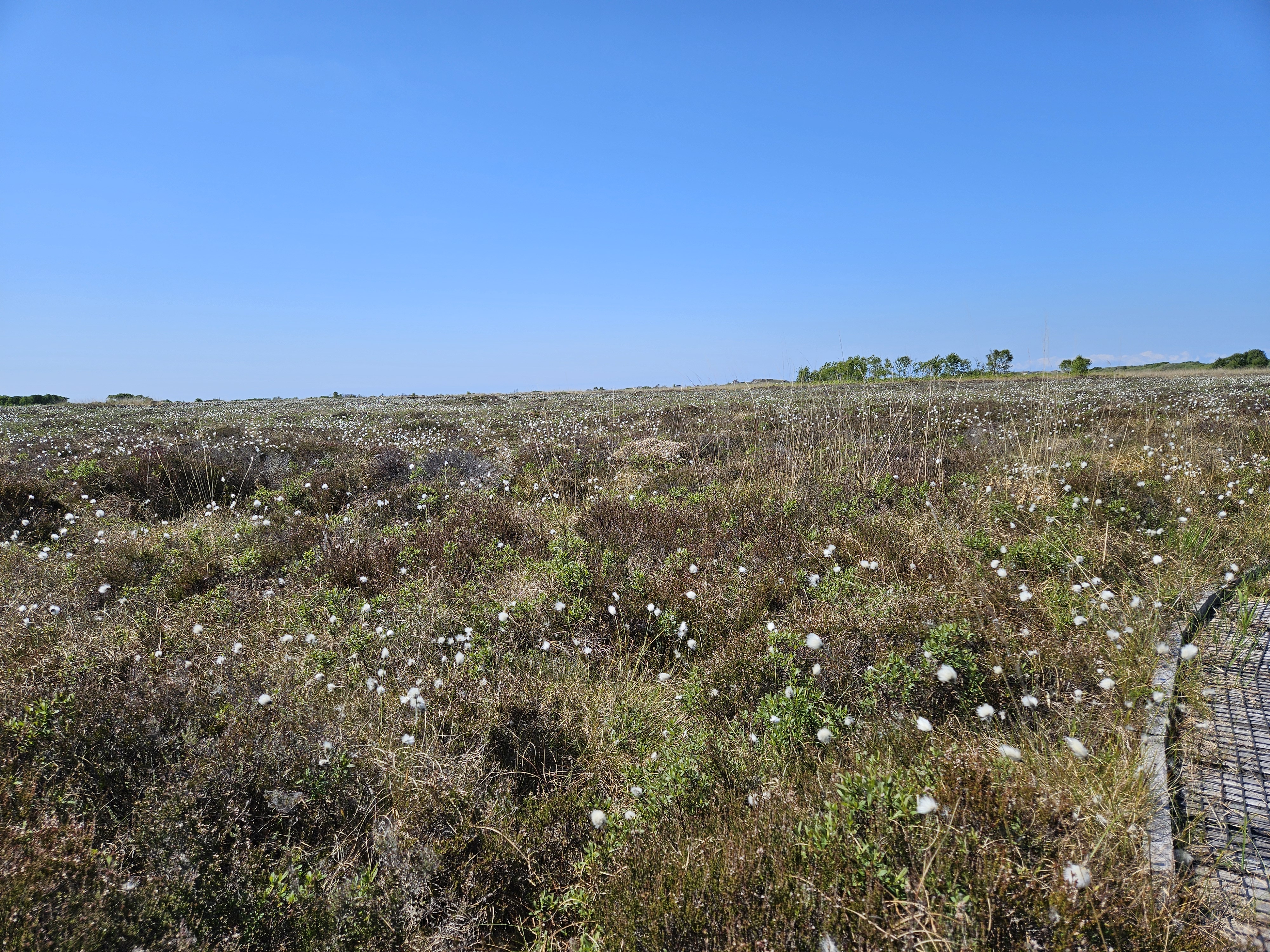
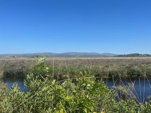
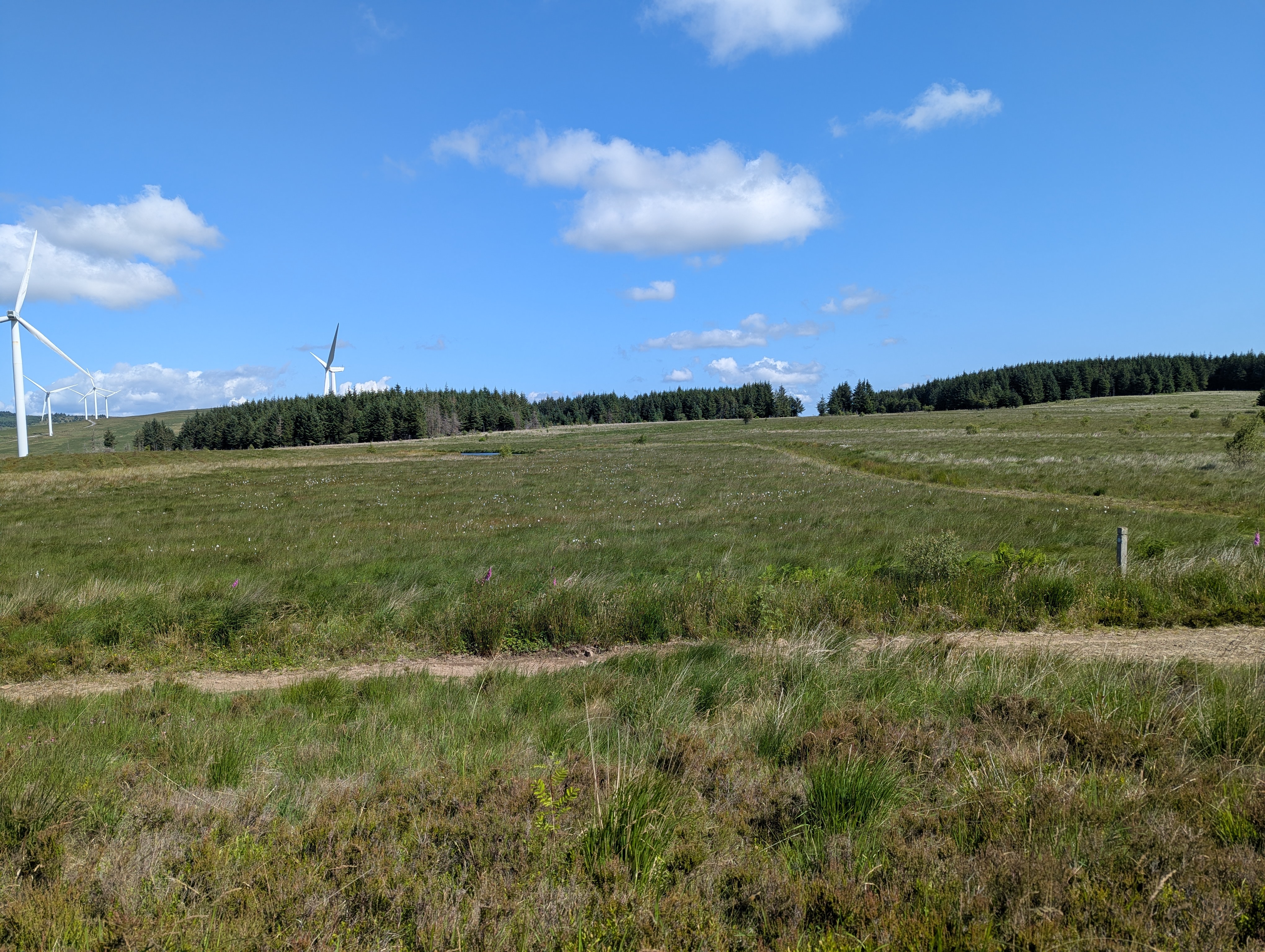
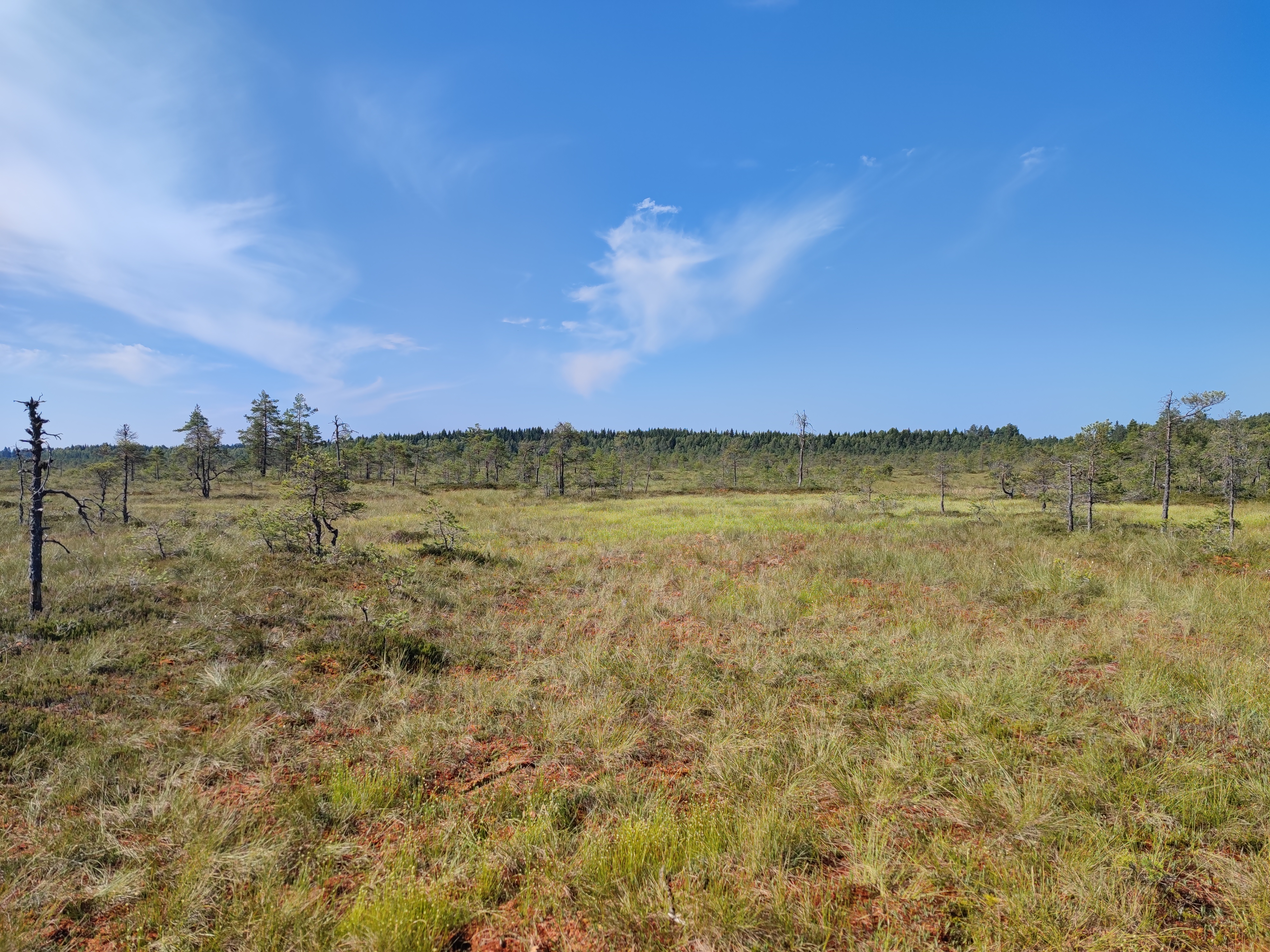
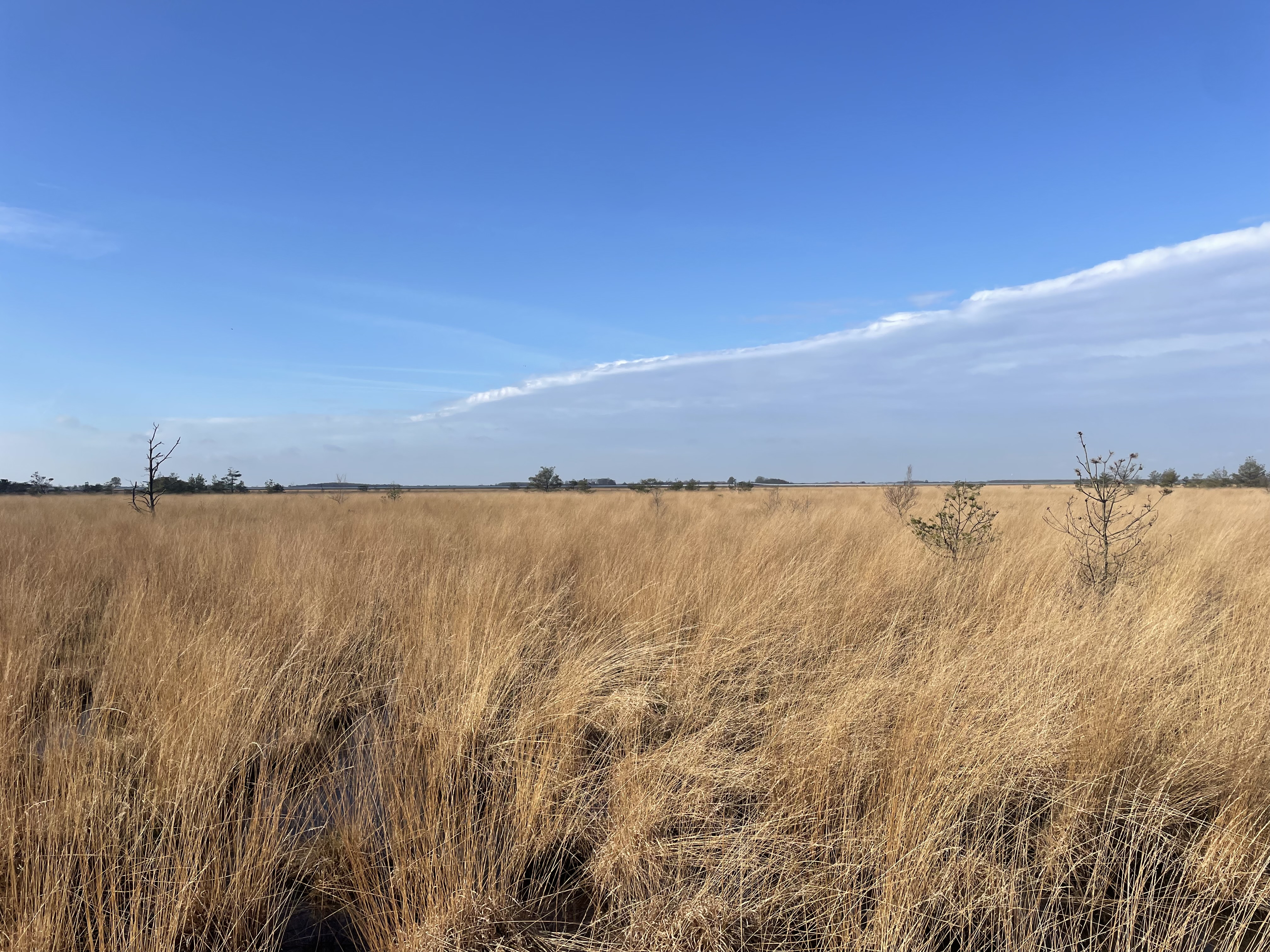
The Tracking the Colour of Peatland project uses community science to collect photographs of wetlands and peatlands over the course of the year from publicly accessible sites.

Any time someone visits a site, they can take a fixed-point photograph of the wetland using one of the specially designed phone cradles and send the photograph over. This allows us to build up a picture of how these wetlands change over the course of the year with regards to their colour.
You can access the photographs using the map below:
Site details
🇨🇦 Canada
Grande Plée Bleue
Location: Québec, Canada
Peatland type: Raised bog
Coordinates: 46.772, -71.003
🌐 Site information
🗺 View on map
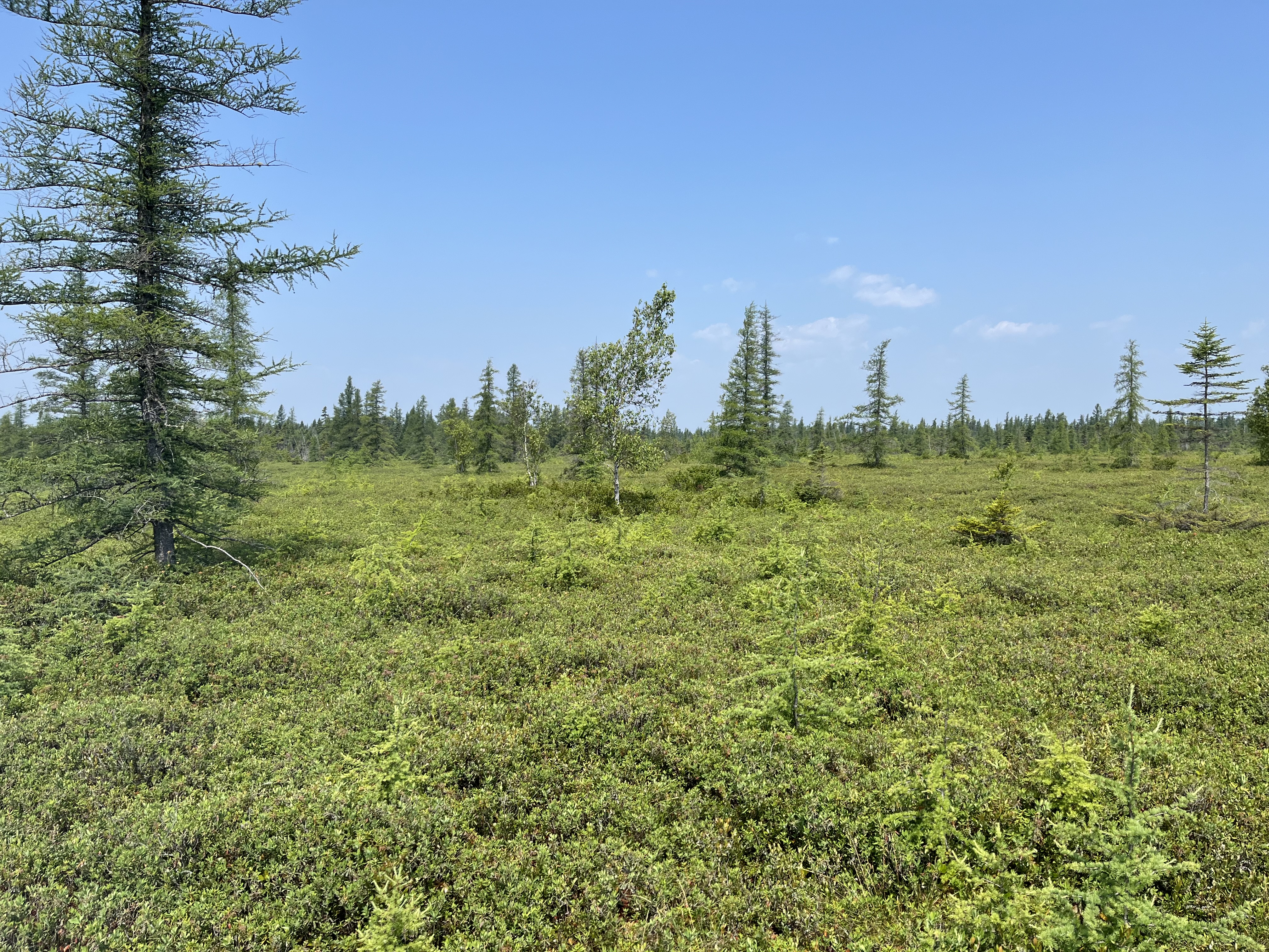
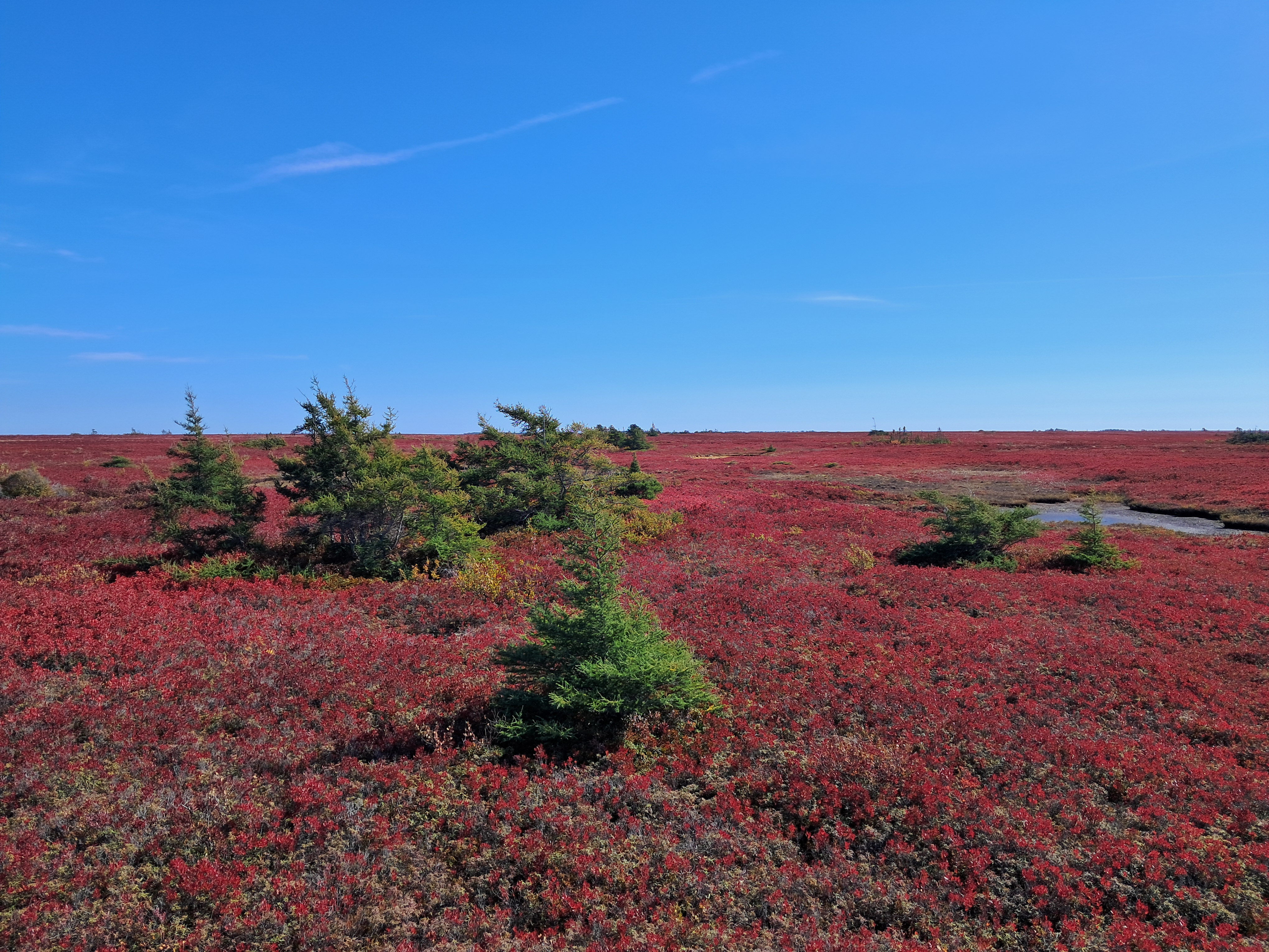
Miscou
Location: New Brunswick, Canada
Peatland type: Raised bog
Coordinates: 47.948, -64.498
🇦🇺 Australia
Cope Hut
Location: Victoria, Australia
Peatland type: Alpine poor fen
Coordinates: -36.906, 147.291

🇬🇧 United Kingdom
Scotland
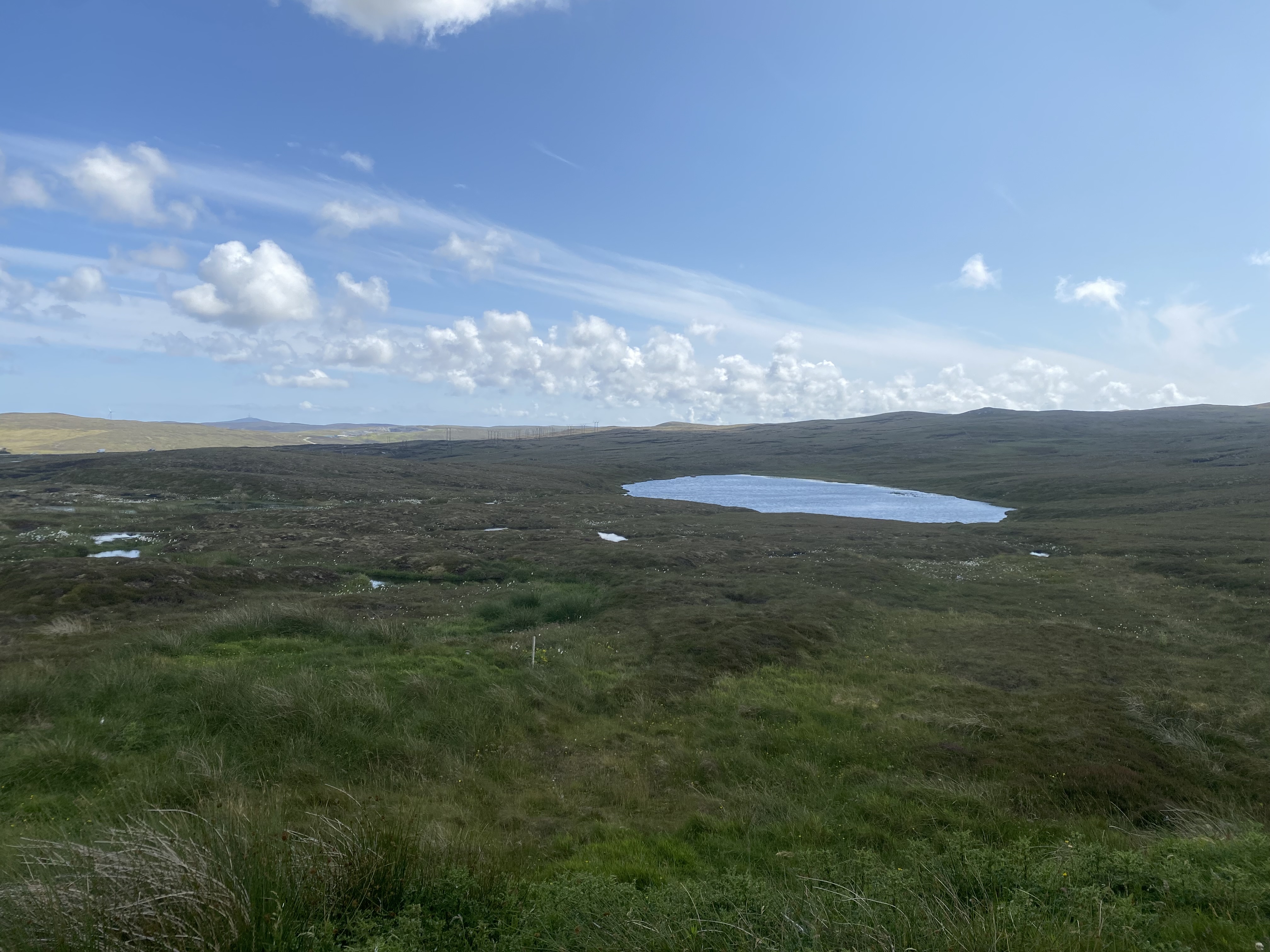
Lochend
Location: Shetland, Scotland
Peatland type: Blanket bog
Coordinates: 60.246, -1.213
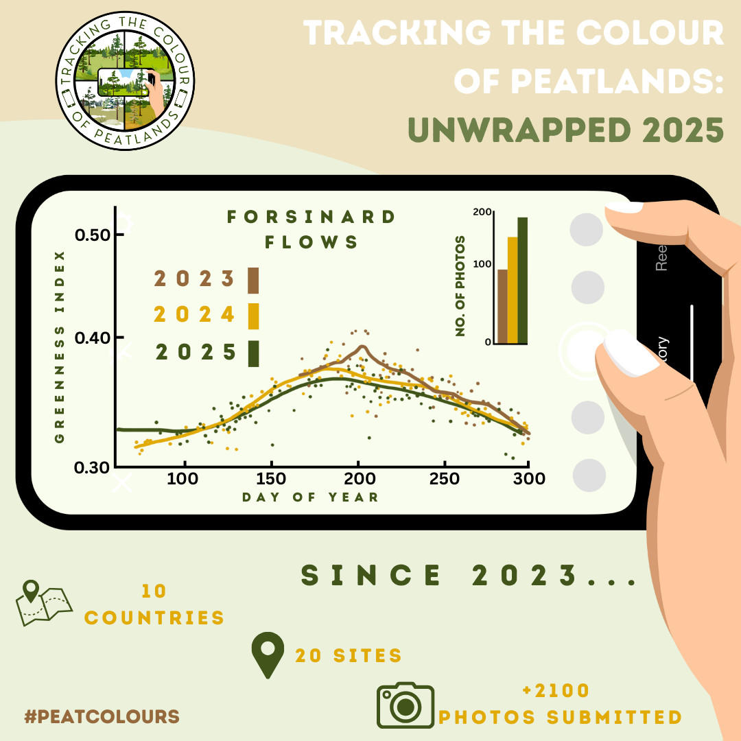
Forsinard Flows
Location: Scotland
Peatland type: Blanket bog
Coordinates: 58.353, -3.905
🌐 Site information
🗺 View on map
Flanders Moss
Location: Scotland
Peatland type: Raised bog
Coordinates: 56.133, -4.317
🌐 Site information
🗺 View on map
Blawhorn Moss
Location: Scotland
Peatland type: Raised bog
Coordinates: 55.893, -3.789
🌐 Site information
🗺 View on map
England
Foulshaw Moss
Location: England
Peatland type: Raised bog
Coordinates: 54.247, -2.832
🌐 Site information
🗺 View on map
Clough Moor
Location: England
Peatland type: Blanket bog
Wales
Cors Fochno 2
Location: Wales
Peatland type: Raised bog
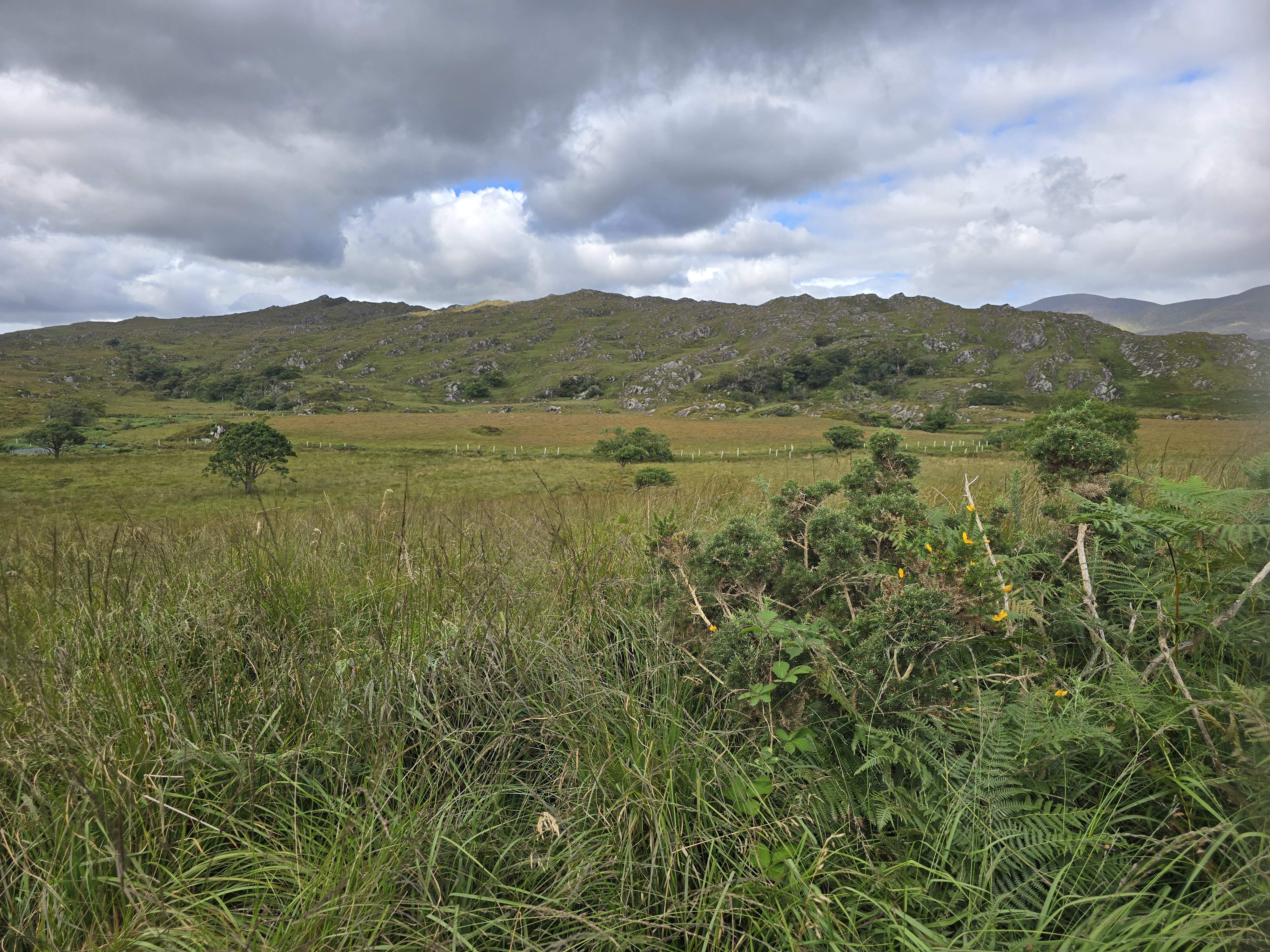
🇮🇪 Ireland
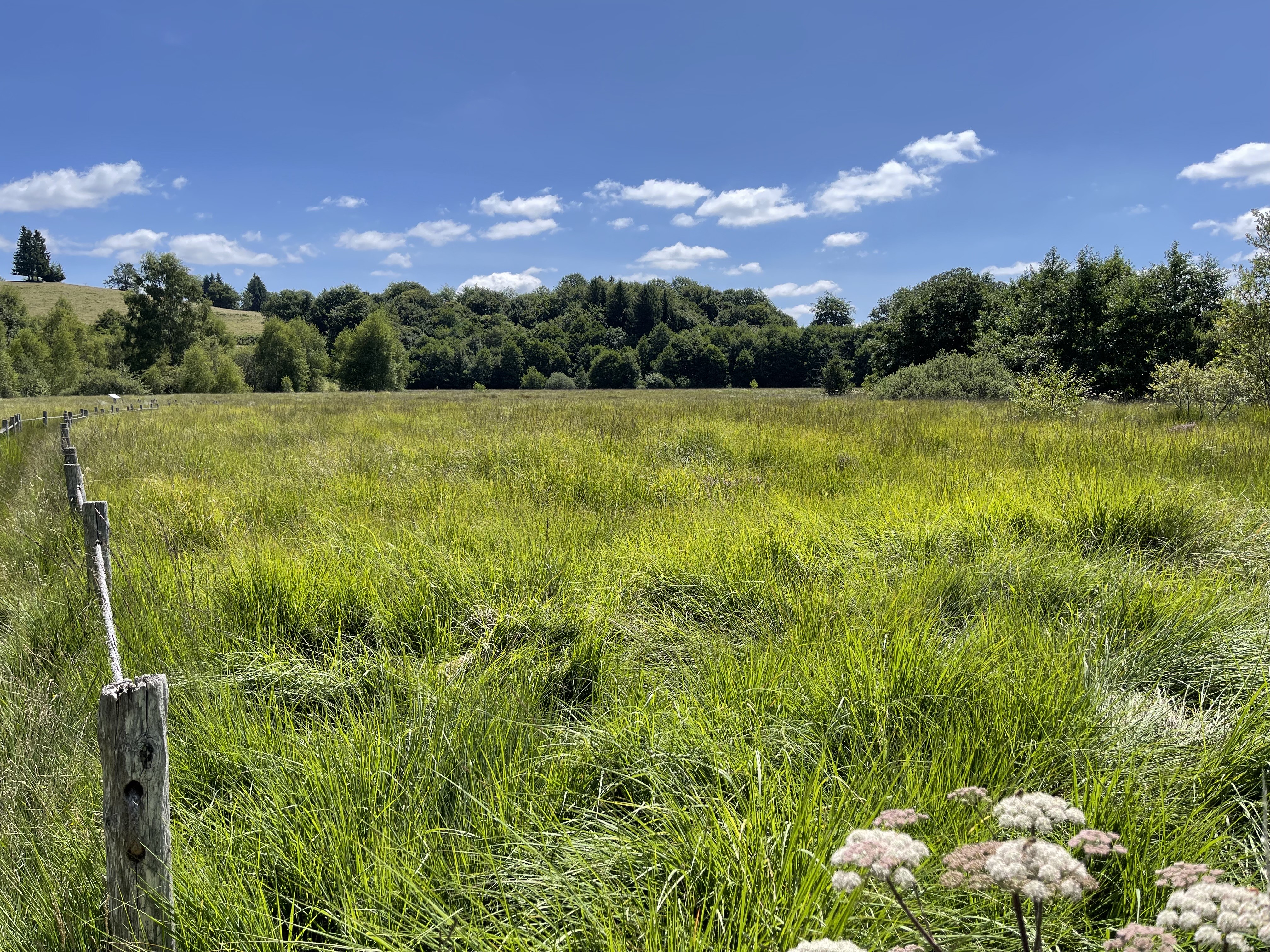
🇫🇷 France
Jouvion
Location: France
Peatland type: Fen
Coordinates: 45.485, 2.687
🌐 Site information
🗺 View on map
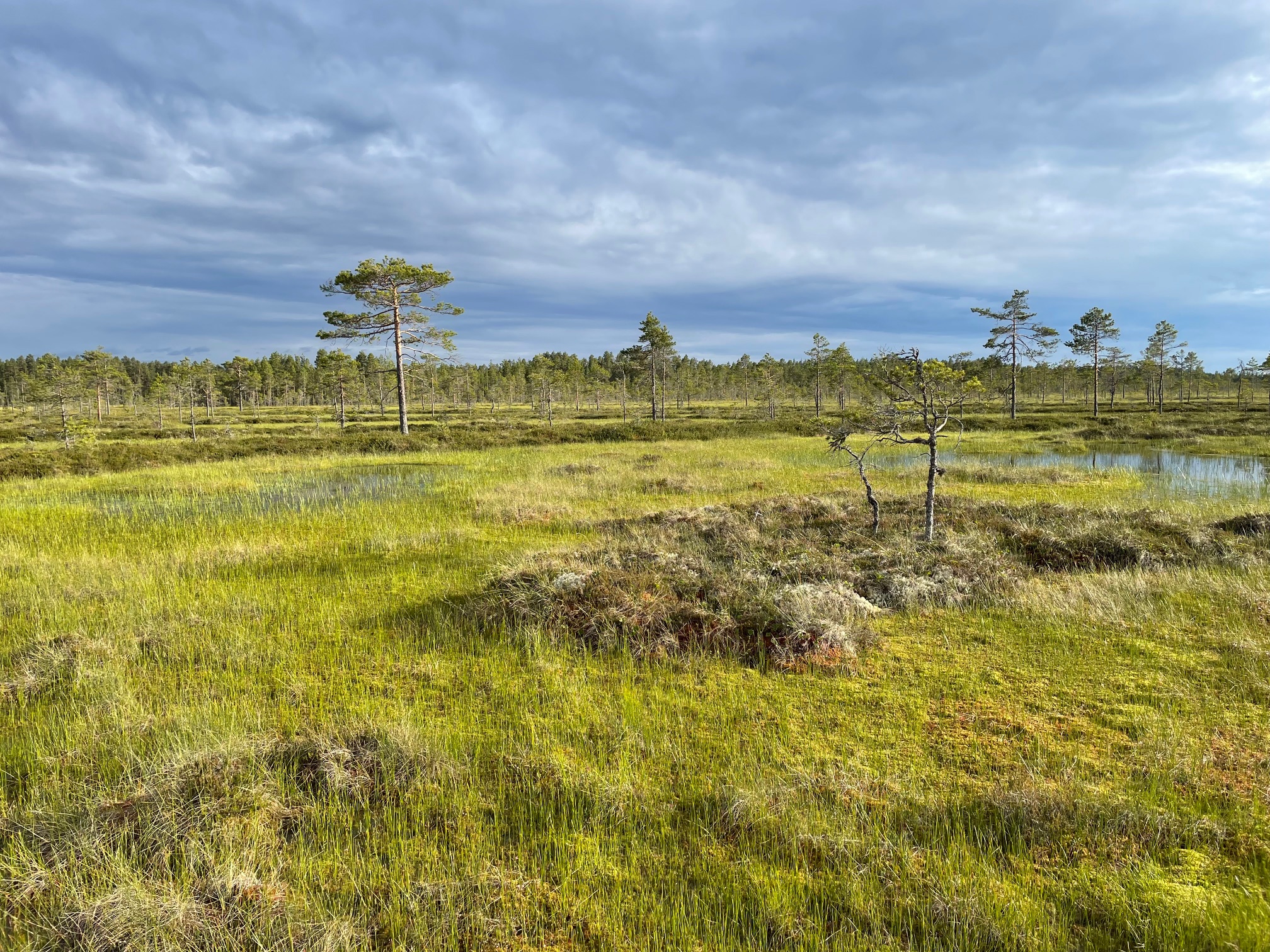
🇸🇪 Sweden
Store Mosse
Location: Sweden
Peatland type: Raised bog
Coordinates: 57.281, 13.910
🌐 Site information
🗺 View on map
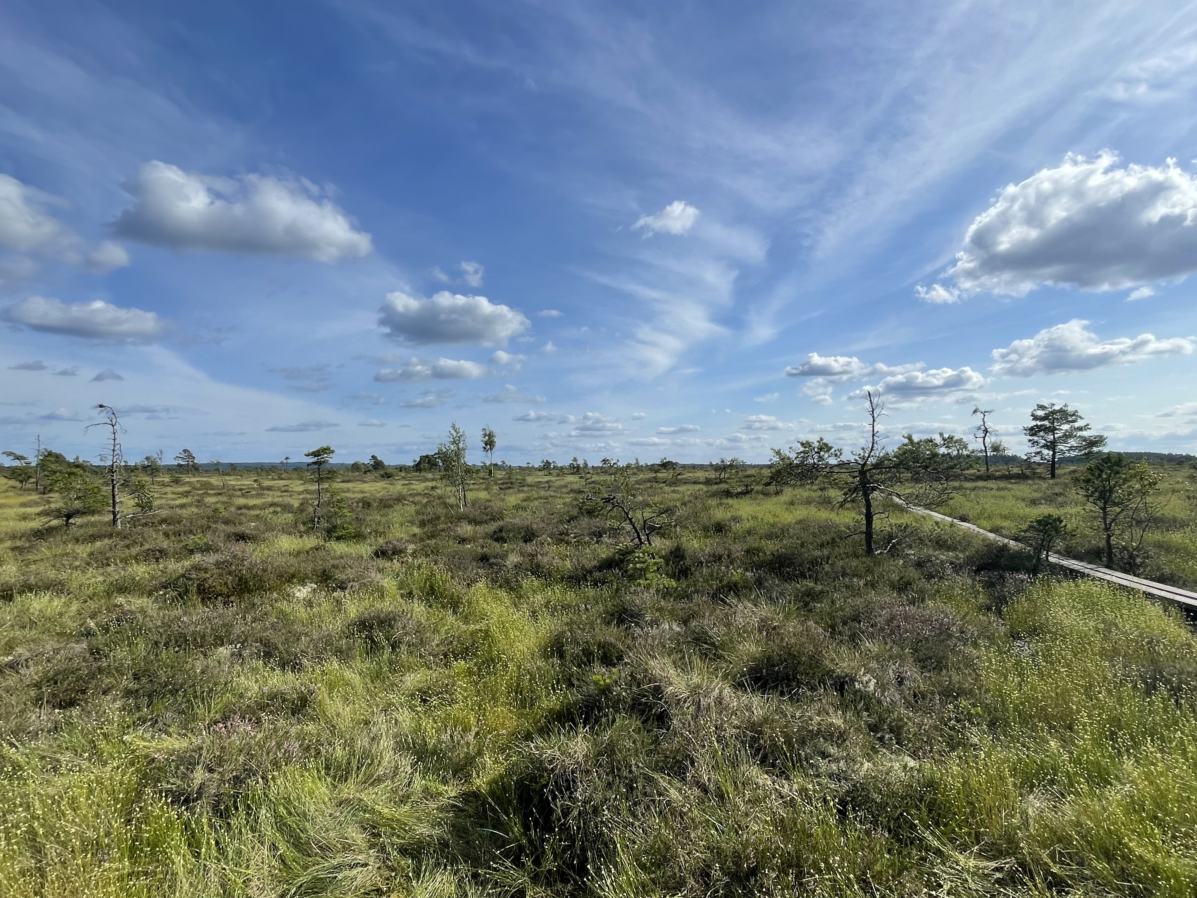
🇫🇮 Finland
Kauhaneva
Location: Finland
Peatland type: Raised bog
Coordinates: 62.204, 22.429
🌐 Site information
🗺 View on map
Torronsuo
Location: Finland
Peatland type: Raised bog
Coordinates: 60.731, 23.634
🌐 Site information
🗺 View on map
🇳🇱 Netherlands
Fochteloërveen
Location: The Netherlands
Peatland type: Fen
Tracking the Colour of Peatlands data summary
Project funding:
Sustainable Earth Institute, University of Plymouth
Project partners:
RSPB Scotland, UK
Ducks Unlimited Canada
Government of New Brunswick’s Department of Natural Resources, Canada
The National Parks & Wildlife Service, Killarney National Park, Ireland
Store Mosse National Park, County Administrative Board, Länsstyrelsen i Jönköpings län, Sweden
Lauhanvuori – Hämeenkangas UNESCO Global Geopark and Metsähallitus National Parks, Finland
Parc Naturel régional des Volcans d’Auvergne, France
Natural Resources Wales
Sue White - Peatland Action, Scotland
NatureScot
Société de conservation et de mise en valeur de la Grande plée Bleue / Ville de Lévis / Ministère de l’Environnement, de la Lutte contre les changements climatiques, de la Faune et des Parcs, Canada
Parks Victoria, Australia